'%3e%3crect%20x='0.25'%20y='0.25'%20width='27.5'%20height='19.5'%20rx='1.75'%20fill='white'%20stroke='%23F5F5F5'%20stroke-width='0.5'/%3e%3cmask%20id='mask0_503_2632'%20style='mask-type:alpha'%20maskUnits='userSpaceOnUse'%20x='0'%20y='0'%20width='28'%20height='20'%3e%3crect%20x='0.25'%20y='0.25'%20width='27.5'%20height='19.5'%20rx='1.75'%20fill='white'%20stroke='white'%20stroke-width='0.5'/%3e%3c/mask%3e%3cg%20mask='url(%23mask0_503_2632)'%3e%3cpath%20fill-rule='evenodd'%20clip-rule='evenodd'%20d='M2%200C0.895431%200%200%200.895431%200%202V8H8V0H2ZM12%200V8H28V2C28%200.895431%2027.1046%200%2026%200H12ZM28%2012H12V20H26C27.1046%2020%2028%2019.1046%2028%2018V12ZM8%2020V12H0V18C0%2019.1046%200.895431%2020%202%2020H8Z'%20fill='%23EF264D'/%3e%3c/g%3e%3c/g%3e%3cdefs%3e%3cclipPath%20id='clip0_503_2632'%3e%3crect%20width='28'%20height='20'%20rx='2'%20fill='white'/%3e%3c/clipPath%3e%3c/defs%3e%3c/svg%3e)


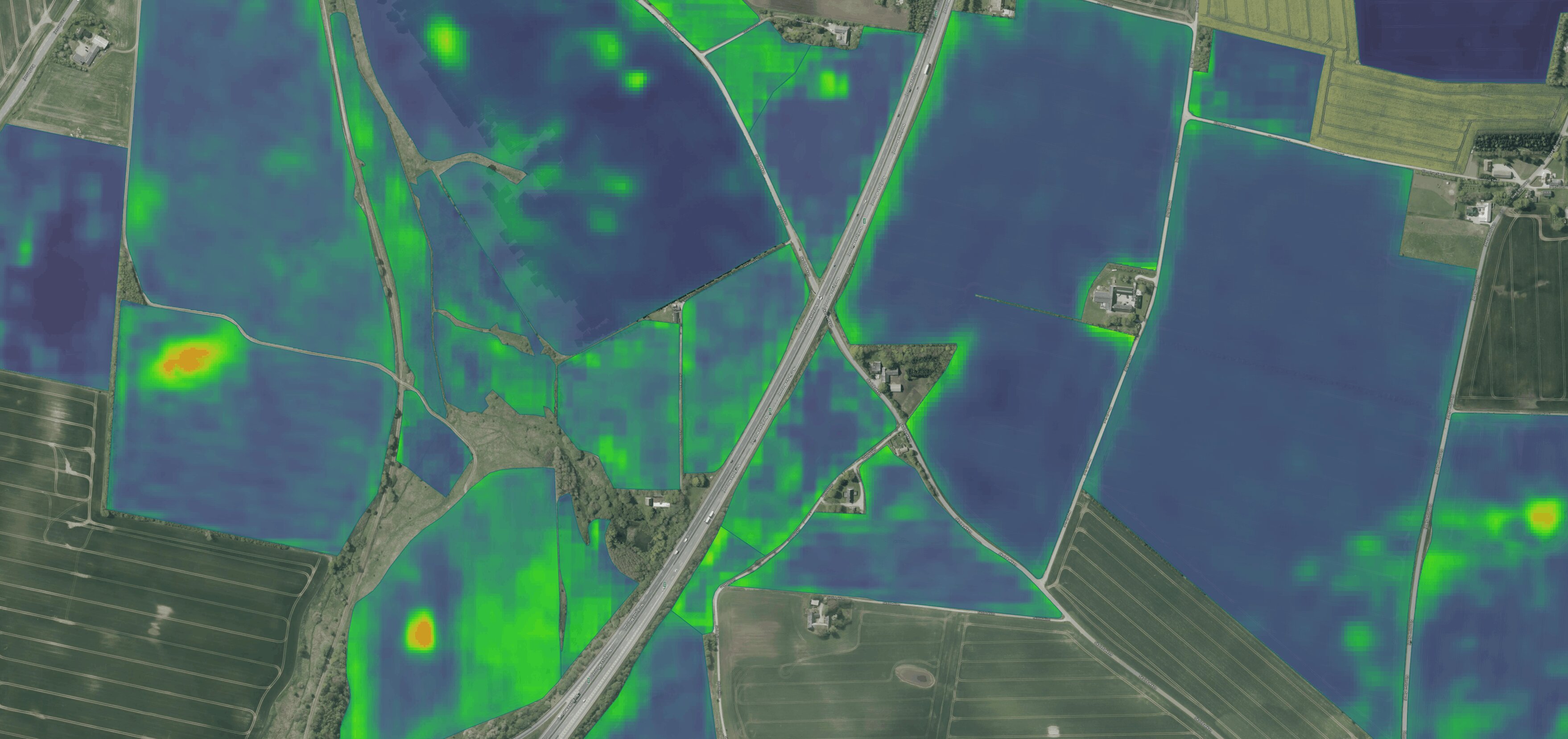

AI Satellite Prediction
From satellite prediction to variable-rate applications
CropUp's AI Satellite Prediction module is designed to turn historical field patterns into something farmers can act on before the season begins.
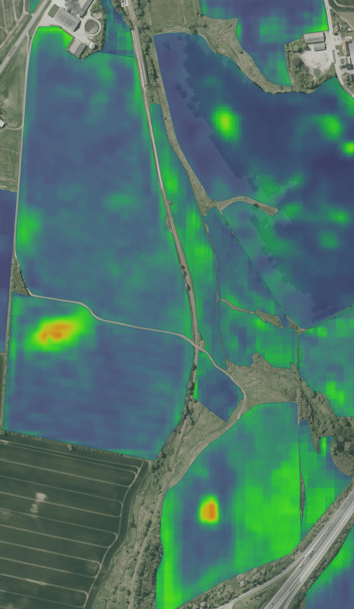
The module predicts relative weed-pressure patterns across the field 1-2 years ahead and divides the field into areas of lower, medium and higher predicted pressure.
That information can be used as a basis for variable-rate applications, allowing farmers to redistribute inputs according to variation within the field rather than applying the same rate everywhere.
It can also support decisions around scouting, weed mapping and where more detailed field observations may be needed.
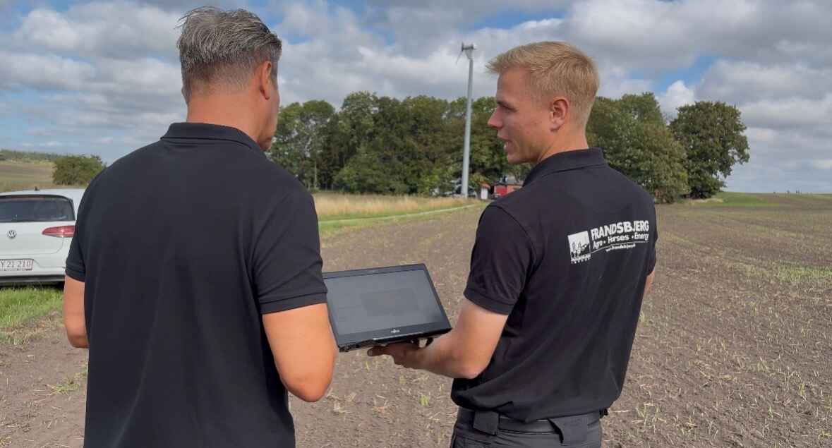
Variable-rate applications
Using predicted field variation for VRA
The main value of the Satellite Prediction layer is that it gives farmers information they can use before an application takes place.
Instead of treating the field as one uniform area, the prediction can be used to create management zones and redistribute inputs between areas of relatively lower and higher predicted pressure.
At Frandsbjerg Agro, the module has already been used across approximately 1.100 hectares.
The predicted field variation was used to redistribute applications of:
- Herbicide
- Growth regulator
- Fungicide
Across the three treatments, Frandsbjerg Agro reduced total input use by approximately 15%, saving more than €11,000 in the process.
The result is a practical example of how one data layer can be used several times during the season.
Decision support
More than an application map
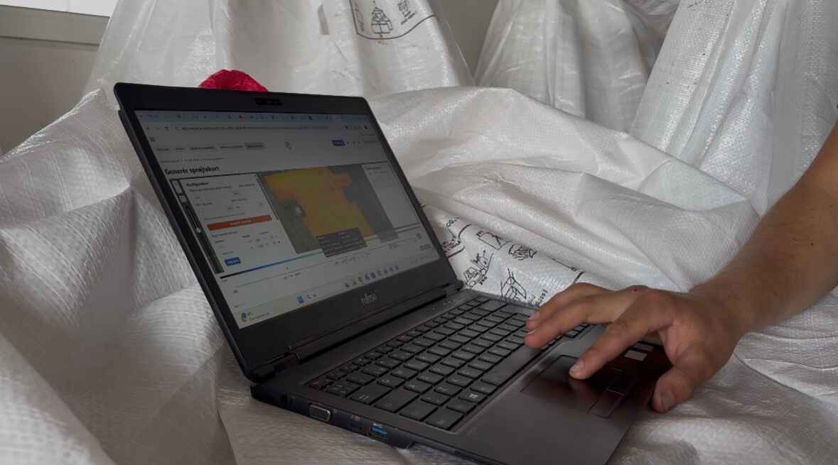
Variable-rate application is one use of the prediction, but the information can also support decisions before the sprayer enters the field.
Knowing where relatively higher weed pressure is expected can help farmers and advisors:
- 01 Prioritise scouting
- 02 Identify areas that deserve closer attention
- 03 Decide where detailed drone-based weed mapping may be most valuable
- 04 Plan weed-management activities earlier
- 05 Compare predicted pressure with what is later observed in the field
The prediction does not replace scouting or high-resolution weed mapping. Instead, it provides an additional layer of information that can help determine where to focus attention and resources.
Origin
It started with a simple observation
The idea behind Satellite Prediction came from something CropUp repeatedly heard from farmers and agronomists:
The weeds tend to come back in the same places.
Some were even considering reusing previous drone-based weed maps from one season to the next.
That raised a question:
If weeds repeatedly establish in similar parts of a field, could persistent variation within the field help explain those patterns? And could some of that variation be identified in historical satellite imagery?
Factors such as soil variation, moisture, terrain, crop competition and previous management may all influence how weed pressure develops across a field.
CropUp therefore began investigating whether historical satellite data could be used to identify persistent patterns before the weeds themselves were visible.
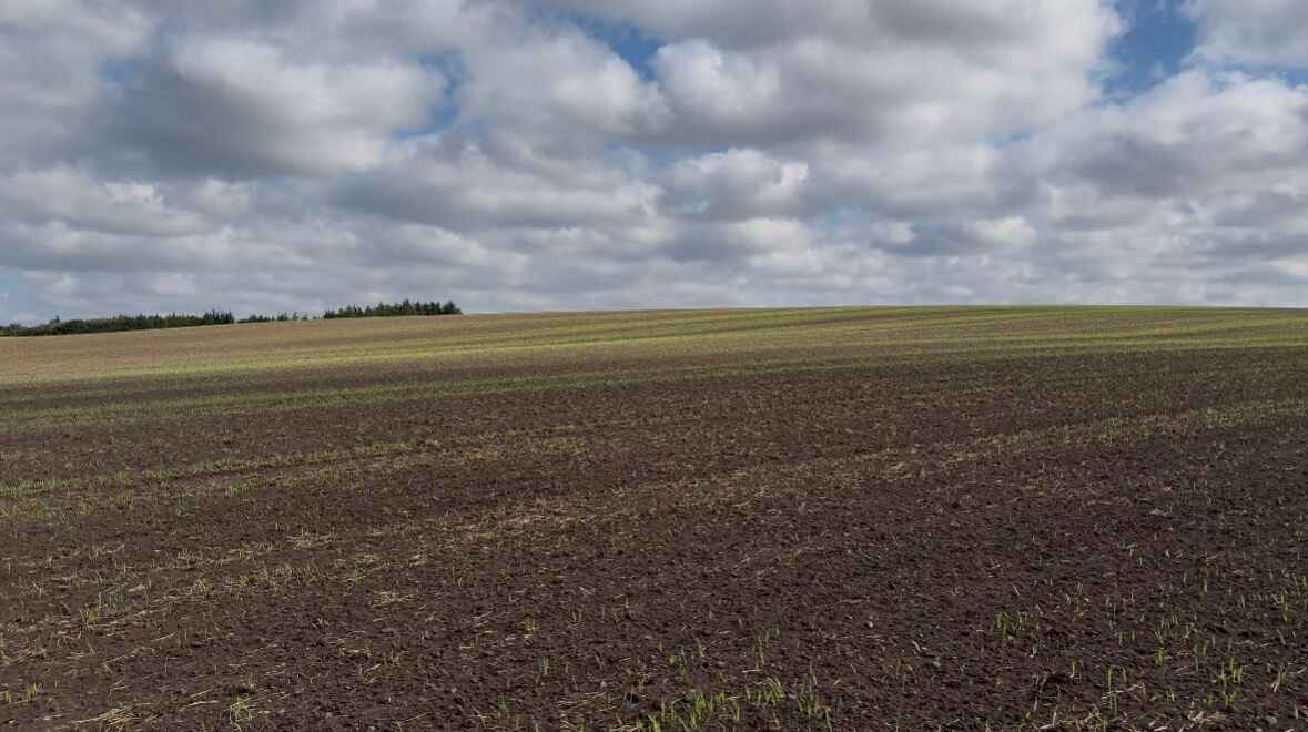
Method
How AI Satellite Prediction works
CropUp analyses historical multispectral satellite imagery to identify patterns within the field and predict relative weed pressure 1-2 years ahead.
The model has been developed using insights from more than 30,000 hectares of high-resolution drone-based weed maps.
The output shows areas of:
Lower
Relatively low predicted weed pressure
Medium
Medium predicted weed pressure
Higher
Relatively high predicted weed pressure
It does not predict the exact number of weeds that will emerge.
Instead, it provides a relative picture of how pressure is expected to vary across the field.
That relative variation is what can then be used for management zones, variable-rate applications and planning.
Field comparison
Comparing the prediction with the field
An important part of developing the module has been comparing predicted patterns with what is subsequently observed in the field.
Together with Stig Andersen and Søren Lykkegaard Hansen from Bayer Denmark, CropUp compared predicted low-, medium- and high-pressure areas with field observations on two trial farms.
The early results showed strong qualitative agreement.
Areas predicted to have relatively higher weed pressure consistently showed more weed pressure in the field than areas predicted to have lower pressure.
These results are still early and should not be viewed as broad scientific validation, but they provide a promising indication that historical satellite imagery can contain useful information about future weed-pressure patterns.
From insight to action
One layer, several decisions
The Satellite Prediction module starts with predicted weed pressure, but its practical value lies in what farmers can do with the information.
It can be used as a basis for variable-rate applications.
It can help prioritise scouting.
It can support decisions about where more detailed weed mapping may be needed.
And, as the Frandsbjerg Agro case shows, the same field layer can potentially support several different applications during the season.
The goal is simple: give farmers useful information about field variation earlier, so they can make more targeted decisions before and during the growing season.
Get started
Want to see what Satellite Prediction looks like on your fields?
Contact CropUp to learn more about the module and how it can be used for variable-rate applications, scouting and weed-management planning.